Visited on 4/27/2018,
Jeff and I loaded up our two chocolate Labradors, Summer and Skye and we
traveled in the foothills of the Sierra Nevada in El Dorado County to visit a
few lakes on a nice spring day. Our second
stop was Jenkinson Lake located near Pollock Pines, California at an elevation
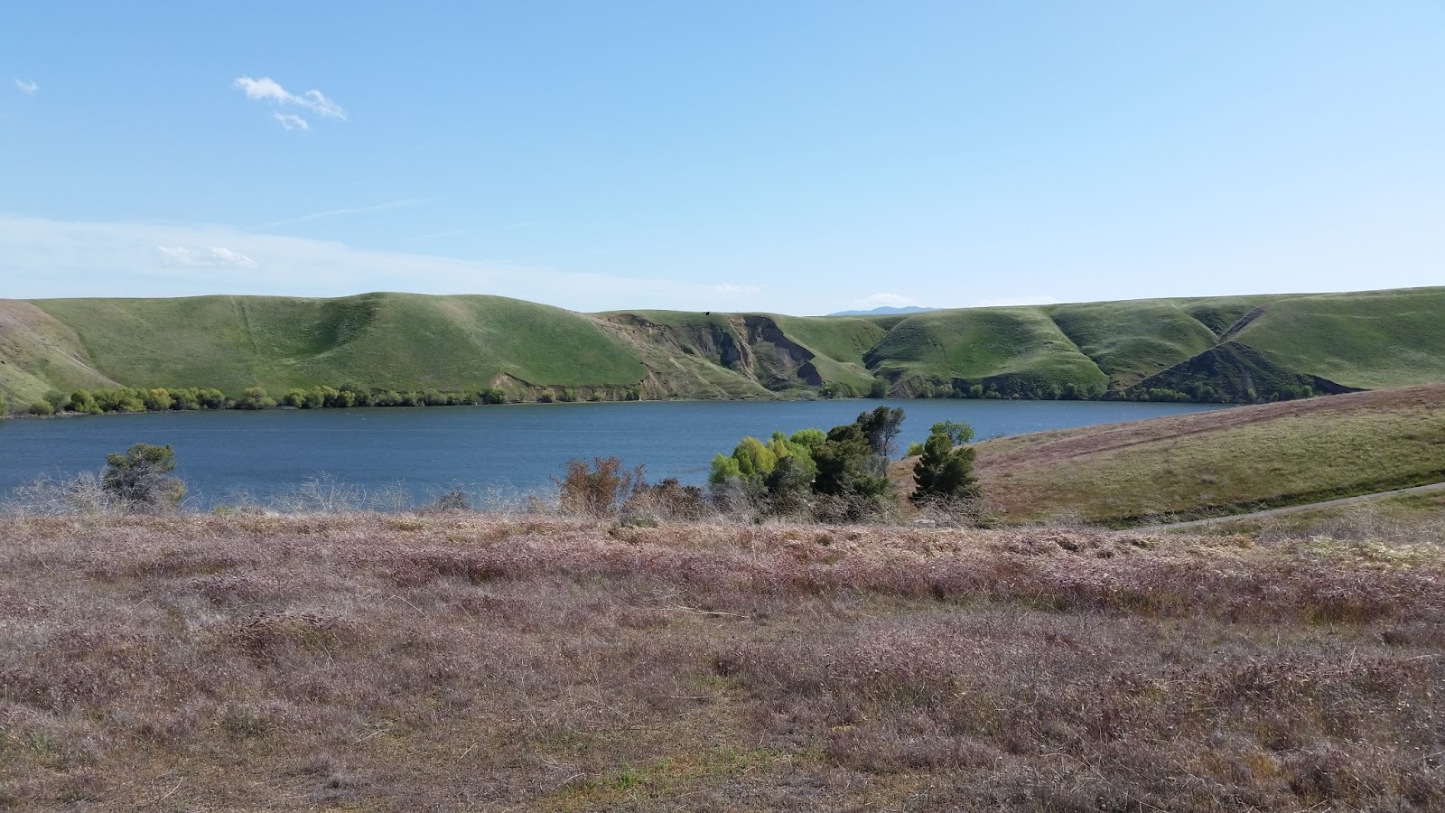
of 3,400 feet above sea level. This 677
acre lake has two main parts, the upper and lower lake. The lower lake is about
eight times larger than the upper lake, which is to the northeast of its
partner. The lower lake is more of a rounded body, while the upper is more
narrow. In the upper eastern area of the
upper lake lies a large inlet, which can be traced to a waterfall. The Sly Park Dam can be found to the southern
part of the lake, and an auxiliary dam can be found to the southeast. Sly Park, noted for its beautiful
surroundings, has always been a favorite stopping place. Before Jenkinson Lake
came to be, the area was a large, flower covered meadow with spring fed
streams. The Maidu and Miwok people came there in the summer and fall to hunt
and gather food. The women ground the acorns from the black oak trees found in
abundance there. They chose the south facing slope overlooking the meadow and
creek. The large rock outcroppings were in a perfect location and are now
pockmarked from the years of grinding. Hundreds of grinding holes can be seen
when the water is low.


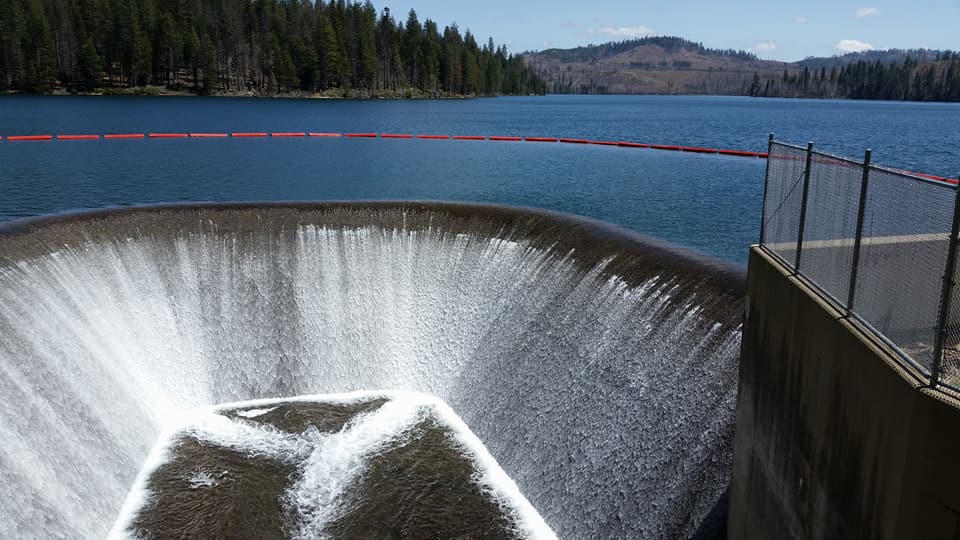
 Why the fence? Well this is the sight where a young man got too close to the Water Treatment intake and was sucked down the pipe and drowned a couple of months ago. They found his body submerged against the intake screen. Keep out, if it says stay away!
Some interesting history about this area: In 1848 the Mormon
Battalion, who had served in California as a peacetime force during the Mexican
War, were called back to Salt Lake City by Brigham Young. While waiting for the
snow to melt, they worked for John Sutter at the Coloma saw mill and at his
flour mill down river. When gold was discovered, they decided to try their hand
on their days off. They had some luck at the flour mill location, and it became
known as Mormon Island. When spring came, they chose a spot in the El Dorado
foothills to wait for the wagons to assemble for the trip to Salt Lake. They
called this place Pleasant Valley. While waiting there, three men decided to
scout ahead for a pass through the snow covered peaks to the east. This was the
pass explored by Kit Carson and John Fremont on their expedition in 1844.
On July 2, 1848, the
group of 45 men, 1 woman (a sergeant’s wife), 17 wagons, 150 horses and 150
cattle began to move up the divide between the American and Cosumnes rivers.
The company stopped after a couple of days in a lush green valley, “which we
called Sly’s Park after one of our men who found it, and there built a couple
of corrals.” (This is taken from Bigler’s Chronicles of the West.)
Why the fence? Well this is the sight where a young man got too close to the Water Treatment intake and was sucked down the pipe and drowned a couple of months ago. They found his body submerged against the intake screen. Keep out, if it says stay away!
Some interesting history about this area: In 1848 the Mormon
Battalion, who had served in California as a peacetime force during the Mexican
War, were called back to Salt Lake City by Brigham Young. While waiting for the
snow to melt, they worked for John Sutter at the Coloma saw mill and at his
flour mill down river. When gold was discovered, they decided to try their hand
on their days off. They had some luck at the flour mill location, and it became
known as Mormon Island. When spring came, they chose a spot in the El Dorado
foothills to wait for the wagons to assemble for the trip to Salt Lake. They
called this place Pleasant Valley. While waiting there, three men decided to
scout ahead for a pass through the snow covered peaks to the east. This was the
pass explored by Kit Carson and John Fremont on their expedition in 1844.
On July 2, 1848, the
group of 45 men, 1 woman (a sergeant’s wife), 17 wagons, 150 horses and 150
cattle began to move up the divide between the American and Cosumnes rivers.
The company stopped after a couple of days in a lush green valley, “which we
called Sly’s Park after one of our men who found it, and there built a couple
of corrals.” (This is taken from Bigler’s Chronicles of the West.)
At that point they
sent out 10 men to explore the anticipated route and to look for the three men
from whom they had received no word. The others waited and grazed their stock
in the rich meadow grasses for about 9 days.
The scouting party
returned, having seen nothing of the three men, but they had discovered a pass
that would have to be cleared. The company cut brush and rolled rock, traveling
about eight miles a day. The first night out of Sly’s Park, they camped at what
they called Camp Creek. The second night was spent at Leek Springs, named for
the many leeks about it.
Five of the men went
on ahead to cut the road. They came across a place by a large spring where it
appeared their three advance scouts had camped. Nearby was a fresh grave, and
here they found the three men murdered and buried in a common grave. This place
they called Tragedy Springs. Many of the place names of the Sly Park area can
be attributed to that Mormon trek. James Calvin Sly returned to Sacramento from
Salt Lake City over the same road about a year later as a guide for a train of
wagons. They stopped at Sly’s Park for two days prospecting for gold, according
to his journal.
The earliest known
settlers in Sly Park were Hiram O. Bryant and William Stonebreaker, who on June
24, 1853, each claimed 160 acres of adjoining land (just east of the present
main dam) for agriculture and grazing. They built houses and outhouses and the
place became known as Sly Park Ranch. The Stonebreakers and Bryants sold the
ranch and settled just east of Sly Park.
Luther C. Cutler and
two partners bought Sly Park Ranch in November of 1857. Cutler bought out his
partners and continued to buy parcels of land in the meadow. Mr. Cutler built a
sawmill there and sold one half interest in the sawmill to Louis Lepettit in
1863. The mill was on Sly Park Creek on the east side of the road to
Stonebreaker. There was a ditch and a flume to provide water to run the mill.
On June 4, 1875, Luther Cutler bought Hazel Valley Ranch from Sam Kyburz for
$100; bounded north and west by Cutler’s property, south by Sly Park Creek, and
east by vacant land.
The meadow was a
favorite stopping place for ranchers driving their stock to the upper mountain
ranges to graze for the summer and fall. About 20,000 head of cattle and 10,000
head of sheep might be driven through Sly Park Valley in a year. The
industrious Mr. Cutler established a two story frame hotel with 15 rooms, a
dormitory to accommodate 15 to 20 men, a dining room and a bar. A small post
office building adjoined the hotel on the east. The cattlemen as well as
teamsters and other travelers all were accommodated at the hotel. There were
two large dance platforms where dances were held nearly every Saturday night.
George Holcomb played the violin, and Robert Carmichael played the banjo and
harmonica at the same time.
Henry Alfred Stark was
adopted by Mr. Cutler, according to Stark’s son Park. The man who built Stark’s
Road was an uncle to Henry Stark. Henry was born in Mud Springs (now called
Diamond Springs). He owned some property and mining rights in that area in the
1870’s.
Luther C. Cutler died
on January 17, 1882, in Alameda County, although he was a resident of El Dorado
County. He had no wife or children and left his estate to his two brothers and
one sister and Henry A. Stark. The ranch in Sly Park he left to Henry Stark
with the condition that he could use and occupy it throughout his lifetime, but
could never sell it or any part of it. If Henry Stark married, the land would
go to the children of that marriage at the time of Henry Stark’s death, to
share and share alike. If he had no children, the property would then go the
siblings of Luther Cutler or their heirs. Henry Stark was also left other land,
but the rest of the estate was sold and divided equally between Henry Stark,
Cutler’s brothers, Thomas and Sanford, and Cutler’s sister, Hannah G. Ford.
This amounted to nearly $2000 each.
In 1882, Henry Alfred
Stark married Mary M. Carmichael, who was born in Smith Flat. They moved to Sly
Park and had three children; Park Cutler Stark, Henry Elmer Stark, and Hazel
Alma Stark. The Starks operated the ranch, dairy, hotel, and later a store,
most of their lives. Park was 12 years old when his Father died in 1898,
leaving Sly Park Ranch to Mary Stark and the three children. The will stated,
“Work horses, Barney, Eva, Craly, and Gray Mare, 4 colts, 7 cows, 10 calves, 4
hogs, 1 spring wagon, 1 plow, 1 mowing machine, 2 harnesses, a 4 bedroom
residence, dining room and kitchen furniture, 1 sewing machine, and accounts due.
The property was sold to E. I. D. on July 13, 1927.
Henry Schneider was a
pioneer of the Pleasant Valley area. He had a butcher shop there and drove a
two horse butcher wagon every day from Pleasant Valley to the various saw mills
east of Sly Park. He would go down to Camp Creek, cut a willow pole, and catch
about 150 trout in about 2 hours, according to Park Stark. Perhaps this is the
Schneider that rented the Sly Park Ranch from El Dorado Irrigation District.
The Schneiders would use it as a stopover when taking the cattle to Silver
Lake. They had about 1000 head and would bring them to the Stark ranch. They
took one bunch up to Silver Lake, then come back to get the second bunch. Sly
Park Ranch at this time consisted of a 2 story house, a milk house, and a barn.
There was a root cellar dug into the hillside behind the house. A spring also
was located behind the house. The foundation of the house can still be seen
when the water is low. The Carbines would stay in the house and look after the
place off and on.
In September of 1889
Charles and Mary Farette sold 2 pieces of property to the Sly Park School
District for $10. This property was located just west of where the lake now
narrows. Due to the many mills in the area, there was need for a school there
for many years. The school property was sold in 1927, but Sly Park School
District had a school at Fresh Pond until the school district merged with the
Pollock Pines School District.