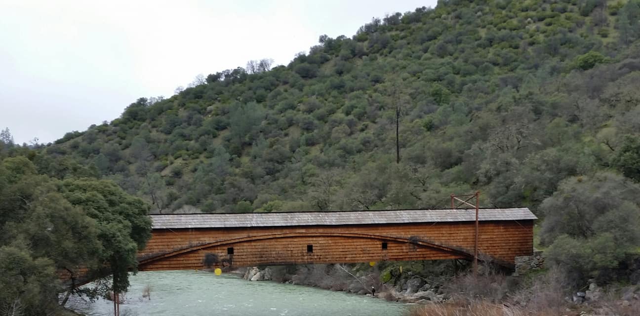
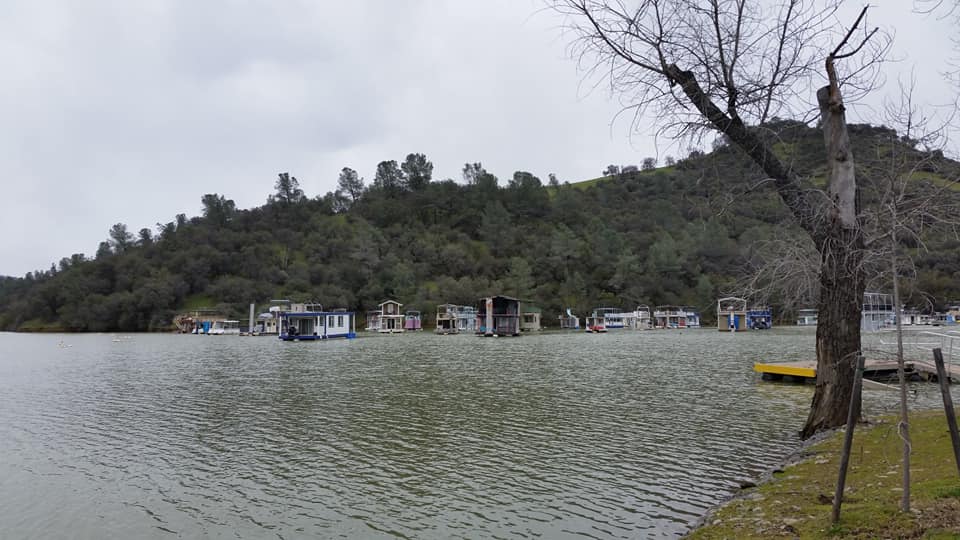
Visited on 3/10/2019, Jeff and I took a drive with our pups, Summer and Skye to the San Francisco Bay Area to take a tour of all of the lakes in Contra Costa County and a couple in Alameda County. The last lake on our list for the day was Contra Loma Lake. Located in the City of Antioch at an elevation of 194 feet above sea level this reservoir is the one of two lakes located in the City of Antioch. This beautiful little 80 acre lake is the centerpiece of a great regional park for the community.


Jeff and I spent an hour or so walking the
dogs on the paved trails while we watched several fishermen along the
shoreline. We had to keep the dogs on a
tight leash and watch where we stepped because of the many ground squirrels,
rabbits and geese that make this area their home.

We did have some play and fetch time in the
horse staging and camp area.

To our surprise they
had an informational display regarding the Anza Expedition of 1776. Jeff’s ancestors were part of this expedition
and helped build the Presidio and Mission in what is now called San Francisco.
This display explains that Juan Bautista de Anza along with Jeff’s ancestors,
(who were among 240 settlers) who traveled 1,800 miles from Sonora, Mexico to
Monterey, California. It explains that
Anza then led a smaller group to choose sites for a mission and presidio in San
Francisco , and to explore the East Bay.
They camped a few miles from this park location on the Antioch
shoreline. During the journey in the
East Bay, Anza and his men passed through the homeland of Ohlone, Bay Miwok and
Northern Valley Yokuts peoples from several tribes, whose ancestors had lived
in the East Bay for some 13,000 years.
Native people responded to the newcomers with surprise, fear and
hospitality, including gifts of fish, seed “cakes”, and other foods. In return the Spanish gave them glass
beads. The diaries of Anza and his
settlers are among the very few firsthand accounts of life in this area prior
to Spanish colonization.
The wildflowers were in bloom and this was a great way
to spend quality time and learn more about this nice little lake and regional
park on a semi-rainy Sunday afternoon.